Ecological Monitoring Services
We offer subscriptions to the Floreviewer platform for communities, project managers, governments, land owners and stewards to map their ecosystems, build carbon and biodiversity models, and develop three dimensional, interactive, ecological restoration and regenerative land management plans
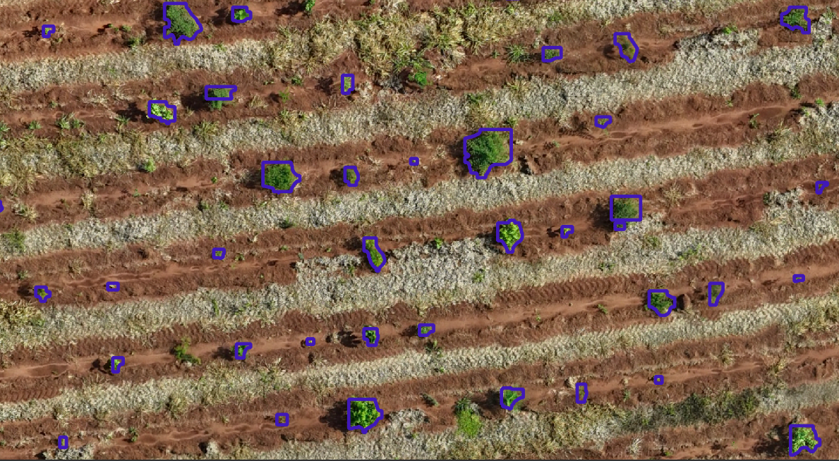
Species Mapping with Artificial Intelligence
Monitoring Changes in Canopy Biodiversity Over Time
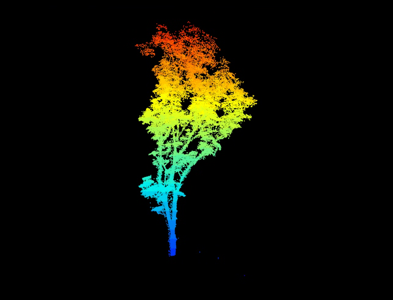
Measuring Aboveground Biomass Carbon with Greater Accuracy
Monitoring The Progress of Ecological Restoration with Satellite Imagery
Monitoring Large-scale Tree Planting With High Resolution Images